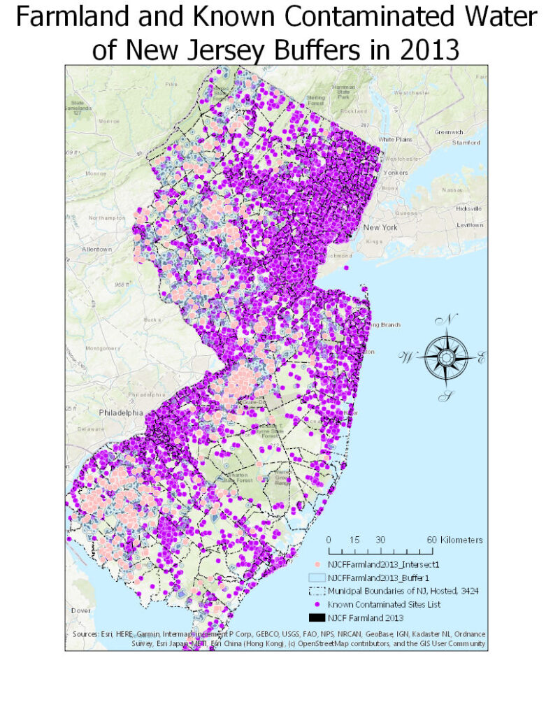
Buffers are not only used within chemistry and biology although it does mean something completely different when in a sentence with GIS. A buffer in GIS reclassifies information based on the distance from objects on types of vectors. Within this map, a buffer is used in correlation of farmland and known contaminated water sites. There are also intersecting areas where the water and farmland overlap from 2013.
