
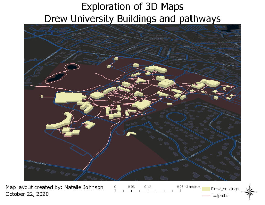
Maps have been known to demonstrate land over distances in a 2 dimensional array. However, now 3D images can be made of desired locations within maps, as seen in google maps on their satellite versions. Here, a map of Drew University can be seen with each building and pathway clearly seen and elevated to give the 3D effect.